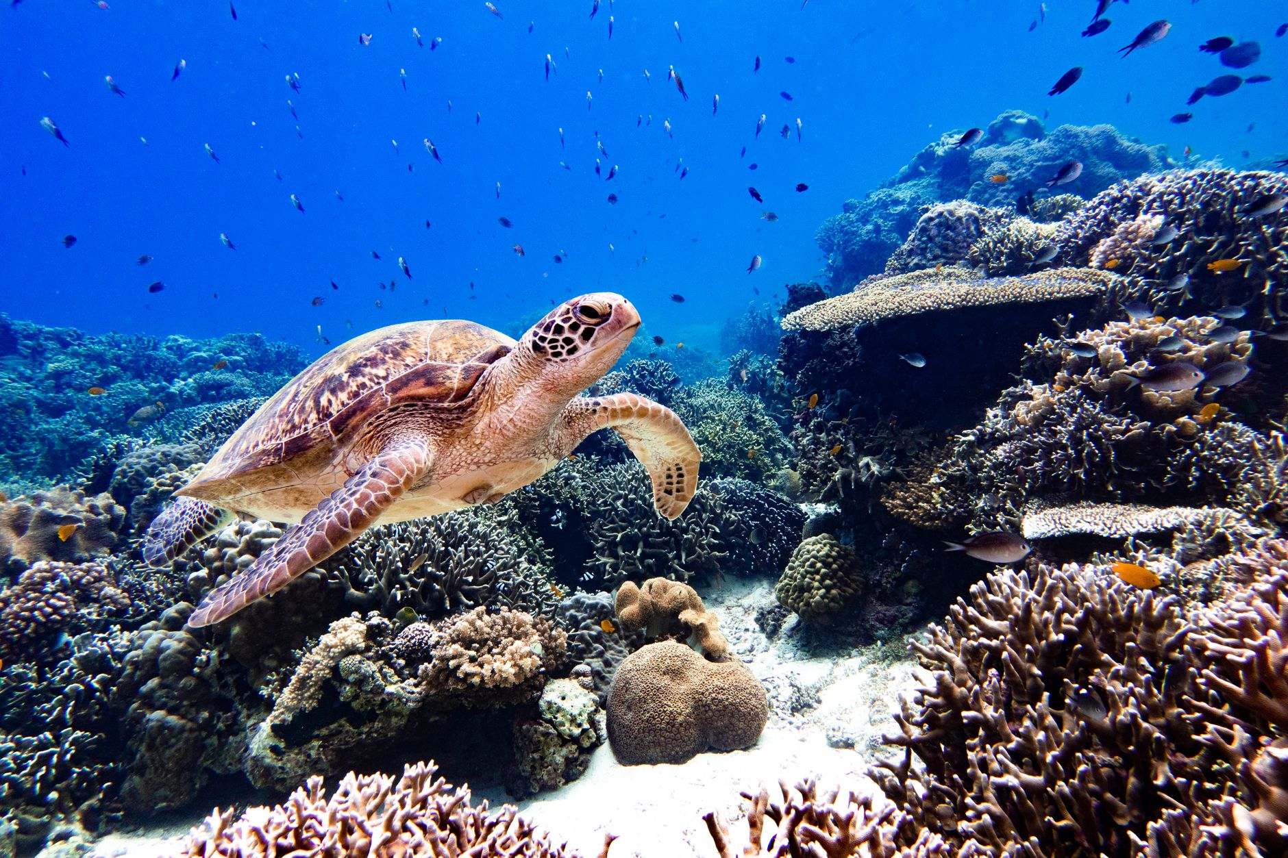
## I Stepped Off the Skiff and Into a Living Laboratory
I stepped off the rusted wooden skiff onto the salt-crusted jetty of Cabo Pulmo, and the smell hit me instantly: sun-baked bay leaves, wet neoprene, and the metallic tang of sea spray. The air was 95 degrees, but my skin was goosebumped from a 45-minute surface run across the Sea of Cortez.
Ten minutes later, I wasn’t sipping a margarita under a thatch umbrella. I was sitting cross-legged on a boat bench with a waterproof acrylic slate strapped to my forearm, learning how to identify the subtle spot patterns behind the gill slits of a Carcharhinus leucas—a bull shark.
For decades, Marine Protected Areas (MPAs) were treated like living museums: look, don't touch, leave only bubbles. But climate pressures and underfunded research teams have flipped the script. Today, conservation science relies on trained citizen scientists—travelers like you—to capture big data that baseline budgets simply can't cover.
If you are tired of passive sightseeing and want to trade empty luxury for real impact, here are six Marine Protected Areas where you can join active scientific operations right now.
---
## 1. Cabo Pulmo National Park, Mexico: Monitoring the World’s Greatest Marine Resurgence
``` LOCATION: East Cape, Baja California Sur, Mexico PRIMARY FOCUS: Apex predator counts & coral cover transects REQUIRED SKILLS: Advanced Open Water (AOW), comfortable in strong currents ```
In 1995, local fishermen made a radical choice: they banned fishing completely in a 27-square-mile stretch of dying reef. Today, Cabo Pulmo boasts a 463% increase in total fish biomass—the largest marine recovery ever recorded. But maintaining this ecosystem requires non-stop monitoring.
### The Citizen Science Mission Working alongside local operators like the Cabo Pulmo Beach Resort and regional scientific cohorts from UABCS (Universidad Autónoma de Baja California Sur), citizen divers perform active Roving Diver Technique (RDT) counts. You are trained to spot, count, and size-estimate key indicator species—specifically groupers, snappers, and bull sharks—using standard underwater survey slates.
Your data feeds directly into the Reef Environmental Education Foundation (REEF) database, which scientists use to track predator-prey dynamics and adjust seasonal sanctuary closures.
``` OPERATIONAL FIELD PROTOCOL: 1. Descend to 60 feet at 'El Vencedor' dive site. 2. Hold stationary position near the sandy bottom using finger-hooks (no reef touching). 3. Record shark length estimates (meters) and unique scar tissue patterns. 4. Log data within 2 hours of surface interval at the field office terminal. ```
* Pro-Tip: Skip the overpriced day-trip vans from Cabo San Lucas. Rent a high-clearance 4x4 in San José del Cabo, drive the unpaved dirt road through La Ribera, and stay in Cabo Pulmo village. Hit the water by 6:30 AM before the wind blows up the chop from the south.
---
## 2. Ningaloo Marine Park, Australia: Megafauna Photo-ID and Coral Watch Logs
``` LOCATION: Exmouth / Coral Bay, Western Australia PRIMARY FOCUS: Whale shark spot-pattern tracking & temperature stress logging REQUIRED SKILLS: Confident open-water snorkeling, basic camera operation ```
Stretching over 180 miles along Western Australia’s remote coast, Ningaloo Reef is one of the world’s largest fringing reefs. Unlike the Great Barrier Reef, which requires long boat rides to reach, Ningaloo’s lagoon lies just yards from the red dirt shore.
### The Citizen Science Mission Ningaloo’s ecosystem relies heavily on two primary monitoring programs:
* Wildbook for Whale Sharks: When swimming alongside whale sharks, spotters take clear lateral photos of the area directly behind the shark's five gill slits and above the pectoral fin. The natural spot patterns act like an underwater fingerprint. You upload your photos directly to the global database, where an AI algorithm scans and matches the individual, telling you if it's a returning resident or a new visitor. * CoralWatch (University of Queensland): Snorkelers are given a physical color reference chart. By matching the shade of living coral branches against standard color bands, you measure micro-bleaching events and submit the GPS coordinates through the CoralWatch mobile app.
``` FIELD PROTOCOL FOR WHALE SHARK ID: - Position: Left-side lateral view, parallel to the animal. - Target: Area behind the 5th gill slit, above the pectoral fin. - Distance: Maintain at least 3 meters (9.8 feet) clearance. - Flash: OFF (Strobe flashes stress the animals and distort spot patterns). ```
* Pro-Tip: Fly into Learmonth Airport (LEA) and pick up a campervan. Target the shoulder months of May and June: you get the crossover window where whale sharks arrive and humpback whales begin their migration, allowing you to double up on megafauna identification logs.
---
## 3. Raja Ampat Marine Protected Area Network, Indonesia: Manta Matcher & Seagrass Transects
``` LOCATION: West Papua, Indonesia PRIMARY FOCUS: Oceanic and Reef Manta Ray tracking, seagrass bed mapping REQUIRED SKILLS: Intermediate/Advanced Diving, negative entry experience ```
Located in the heart of the Coral Triangle, Raja Ampat contains over 75% of all known hard coral species. The marine sanctuary spans 4.5 million hectares across a sprawling network of seven distinct MPAs.
### The Citizen Science Mission Through partnerships with Marine Megafauna Foundation and local homestays operating under the Reef-World Foundation, travelers log critical data on Manta Ray populations using the Manta Matcher open-source engine.
Divers photograph the unique spot patterns on the ventral (belly) surface of both Mobula alfredi (reef mantas) and Mobula birostris (oceanic mantas). Additionally, shallow-water snorkelers lay out 50-meter quadrat tape lines to map seagrass density in coastal mangrove zones, directly assessing blue carbon storage capacities.
Pro-Tip: Do not stay at expensive closed-loop resorts if you want raw science access. Book through the Yenkoranu Homestay* on Kry Island or connect with community-led science centers in Dampier Strait. Bring your own high-intensity dive light and a slate attached via heavy-duty bungee—gear breaks fast in these high-salinity, high-current environments.
---
## 4. Belize Barrier Reef Reserve System: Invasive Lionfish Eradication & Turtle Nest Mapping
``` LOCATION: South Water Caye Marine Reserve, Belize PRIMARY FOCUS: Invasive species control & Hawksbill nesting density REQUIRED SKILLS: Rescue Diver or experienced Open Water with excellent buoyancy ```
The Belize Barrier Reef is the largest barrier reef system in the Northern Hemisphere, but it faces a persistent threat: invasive Indo-Pacific lionfish (Pterois volitans). With no natural predators in the Atlantic, lionfish devastate juvenile native reef populations.
### The Citizen Science Mission In South Water Caye and surrounding reserves, organizations like ReefCI (Reef Conservation International) recruit non-specialist divers for daily work trips:
* Lionfish Removal & Gut Analysis: You learn how to safely collect lionfish using three-prong pole spears (Hawaiian slings) and Zookeeper containment tubes. Back at the station, you dissect the specimens, measure stomach contents, record total length, and upload the biomass data to the Belize Fisheries Department. * Hawksbill Turtle Nesting Logs: Early morning beach walks involve walking perimeter lines to log new turtle crawls, verify nest locations, and flag potential poaching risks or marine debris hazards.
``` DAILY CITIZEN SCIENCE LOG (SOUTH WATER CAYE): - 06:00 AM: Beach walk & turtle track GPS tag - 08:30 AM: Lionfish removal dive #1 (Max depth: 60ft) - 01:30 PM: Dissection, stomach content classification, data log upload - 04:00 PM: Coral reef health line-intercept transects ```
* Pro-Tip: Eat your research! Lionfish flesh is delicate, flaky, and packed with Omega-3s. The field station chefs prepare fresh lionfish ceviche with lime juice, habaneros, and crisp plantain chips every afternoon.
---
## 5. Mo'orea Marine Protected Area, French Polynesia: Micro-Fragmenting & Coral Restoration
``` LOCATION: Mo'orea, Society Islands, French Polynesia PRIMARY FOCUS: Super-coral micro-fragmentation & photogrammetry mapping REQUIRED SKILLS: Snorkeling or Open Water Certification ```
The lagoon surrounding Mo'orea is framed by steep volcanic peaks and turquoise water. However, severe bleaching events and crown-of-thorns starfish outbreaks have damaged significant portions of the outer reef wall.
### The Citizen Science Mission Collaborating with local scientific organizations such as Coral Gardeners (based in Cook's Bay) and CRIOBE (Centre de Recherches Insulaires et Observatoire de l'Environnement), travelers take part in cutting-edge restoration techniques.
* Micro-fragmentation: You are trained to harvest small, resilient corals (termed "super-corals" for their thermal resistance), cut them into 1 cm fragments using special saws, and cement them to underwater rope nurseries or land-based growing tables. * Photogrammetry Mapping: Using waterproof cameras, participants swim grid paths over restoration sites. The images are stitched together using specialized software to build 3D models of the growing reef, allowing scientists to calculate growth rates to the millimeter.
* Pro-Tip: Take the 30-minute passenger ferry from Papeete (Tahiti) to Mo'orea instead of flying. Rent a scooter to access the Cook’s Bay research facilities. Bring an underwater slate with pre-printed grid paper—it makes taking photogrammetry control points far easier in surge conditions.
---
## 6. Chumbe Island Coral Park, Zanzibar, Tanzania: Night Transects & Giant Coconut Crab Inventories
``` LOCATION: Zanzibar, Tanzania PRIMARY FOCUS: Nighttime terrestrial/intertidal transects & sanctuary enforcement checks REQUIRED SKILLS: Basic swimming, comfort walking on jagged fossilized coral terrain at night ```
Chumbe Island is a private, non-profit Marine Protected Area off the coast of Zanzibar. It houses one of the world's most pristine coral reefs, enforced by local park rangers without government intervention.
### The Citizen Science Mission Because the marine zone is strictly "no-take," scientists use indicator surveys to prove the benefits of spillover fishing into surrounding waters.
Giant Coconut Crab (Birgus latro*) Night Censuses: After sunset, citizen scientists join rangers across the coral rag forest to locate, mark, measure, and record the world's largest land-living arthropods. * Sea Cucumber Intertidal Transects: During extreme low tides, volunteers walk exposed reef flats carrying waterproof calipers to measure sea cucumber species distribution, an indicator of illegal harvesting pressure in nearby non-protected zones.
``` FIELD GEAR CHECKLIST (CHUMBE ISLAND): - Red-light headlamp (protects nocturnal crab vision) - High-traction closed-toe water shoes (sharp fossilized limestone) - Waterproof digital calipers (0-300mm range) - Slate with waterproof rite-in-the-rain paper ```
* Pro-Tip: Book your stay months in advance. Chumbe strictly limits overnight guests to 14 people across seven eco-bungalows to minimize freshwater load and wastewater footprint on the surrounding reef.
---
## Quick Facts & Operational Logistics Comparison
| Marine Protected Area | Primary Focus | Best Time to Visit | Estimated Daily Cost ($USD)* | Primary Citizen Science Platform | | :--- | :--- | :--- | :--- | :--- | | Cabo Pulmo (Mexico) | Bull Sharks & Reef Biomass | Oct – Dec | $120 – $220 | REEF.org / iNaturalist | | Ningaloo Reef (Australia) | Whale Sharks & Coral Watch | Mar – Jul | $180 – $350 | Wildbook / CoralWatch | | Raja Ampat (Indonesia) | Mantas & Seagrass | Oct – Apr | $80 – $200 | Manta Matcher / Coral Finder | | South Water Caye (Belize) | Lionfish & Sea Turtles | Mar – Sep | $150 – $280 | Belize Fisheries Data Network | | Mo'orea (French Polynesia)| Super-Coral Restoration | May – Oct | $200 – $400 | Coral Gardeners Engine | | Chumbe Island (Tanzania) | Coconut Crabs & Intertidal | Jun – Oct | $280 – $450 | Chumbe Research Registry |
\Includes basic field lodging, boat transport, and research equipment access fees.*
---
## Essential Apps & Gear for Citizen Science Travel
Don't step onto a research vessel without these field tools downloaded and pre-configured on your devices:
``` DIGITAL TOOLKIT FOR OCEAN VOLUNTEERS: 1. iNaturalist (Offline mode): Upload photos of unidentified marine species; global taxonomists verify within hours. 2. CoralWatch Mobile: Upload coral health color-index codes while still at sea. 3. eStrand / Wildbook: Submit megafauna spot/stripe photos directly from your smartphone. 4. Maps.me: Download offline topographic and marine boundary maps to double-check marine reserve zones. ```
### Essential Hardware Checklist * Acrylic Diving Slate with Pencil Lead: Never rely purely on digital gear in saltwater. * Underwater Camera with Optical Zoom: Fixed wide-angle lenses (like basic action cams) distort spot patterns on megafauna. An Olympus Tough TG-6 or TG-7 in an underwater housing is the gold standard for macro and ID research. * Reef-Safe Non-Nano Zinc Sunscreen: Chemical sunscreens containing oxybenzone or octinoxate destroy coral larvae. Use physical barriers like dive skins, or 100% non-nano zinc oxide pastes.
---
## How to Avoid Eco-Washing: 3 Red Flags to Watch For
Not every tour that claims to offer "citizen science" actually contributes to scientific research. Watch out for these warning signs:
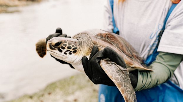
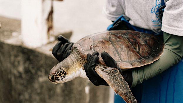
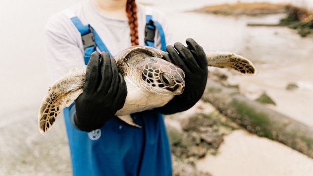
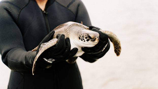
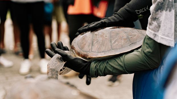
1. Guaranteed direct animal contact: If an operator promises you can touch, ride, or hold marine wildlife (like sea turtles or nurse sharks), walk away. Legitimate science relies on minimal disruption protocols. 2. No scientific partners listed: Trustworthy programs clearly display their affiliations with universities, government departments, or accredited scientific databases (e.g., NOAA, REEF, CRIOBE). 3. Data stays in a closet: Ask the tour leader: "Which public or university database does this data feed into?" If they can't name the specific repository, your survey work is just expensive entertainment.
---
## The Final Dip: Changing How You Travel Forever
The sun was dropping below the dusty ridges of the Sierra de la Giganta as our skiff motored back to the Cabo Pulmo shore. My skin was caked in dried salt, my slate was covered in pencil scribbles of predator numbers, and my arms were sore from pulling dive lines.
I didn't leave with just another vacation photo for social media. I left knowing that five lines of data handwritten on my slate were uploaded to a public repository that researchers will use to protect that strip of coast for the next decade.
Stop visiting the ocean like it's an amusement park. Pick an MPA, pick up a slate, dive in, and help save the ecosystems that sustain us all.
---
Reader Comments (0)
Share Your Thoughts
Join the conversation and share your travel insights
Thank You!
Your comment has been submitted and is awaiting moderation. We'll review it shortly and publish it if it meets our community guidelines.